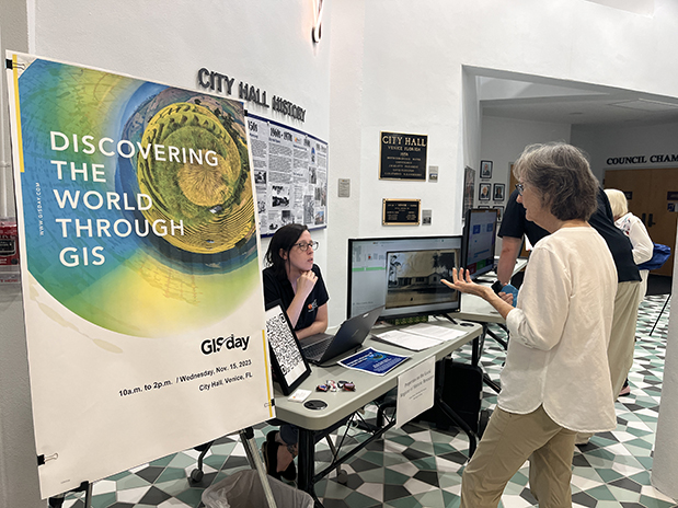
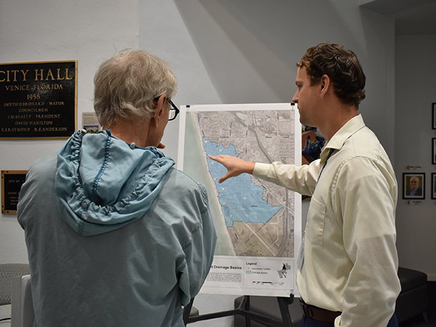
The City of Venice GIS squad and their contributions to the community were celebrated during an open house at City Hall on November 15, Geographic Information Systems (GIS) Day.
GIS data is a powerhouse tool that lets the City observe real-time information to help make real-world decisions. Staff can track stormwater; plan for water and wastewater utilities, parks and green spaces; and keep tabs on building and development.
The open house provided residents the opportunity to meet the faces behind the maps: Community Rating System (CRS) Coordinator for Engineering and Stormwater Christina Rimes, Stormwater Engineer Steven Berens, Information Technology GIS Administrator Don Hubbard, Utilities GIS Analyst Will Smith and Planning and Zoning GIS Analyst Kelsey Shope.
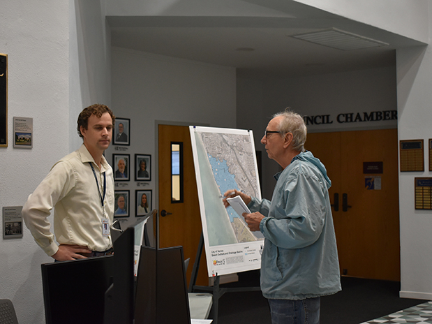
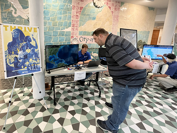
The group set up tables with monitors in the City Hall lobby to give the public information on maps and other GIS data. Citizens could ask the staff questions about GIS, the maps they produce and their positions with the City. To explore Venice’s GIS data, go to geo.venicefl.gov/portal/apps/sites/#/data.


